This article was co-authored with generative AI. The proper nouns, figures, and history in the article have been checked against public information as far as feasible, but the descriptions of historical background in particular may contain errors. Please verify accurate information against the primary sources at the end. This article focuses on the technical aspects of how the model works.
This is the third in a series introducing major, flagship digital humanities projects. Related articles: Venice Time Machine / Sailing Letters / World Historical Gazetteer
What Is This Tool
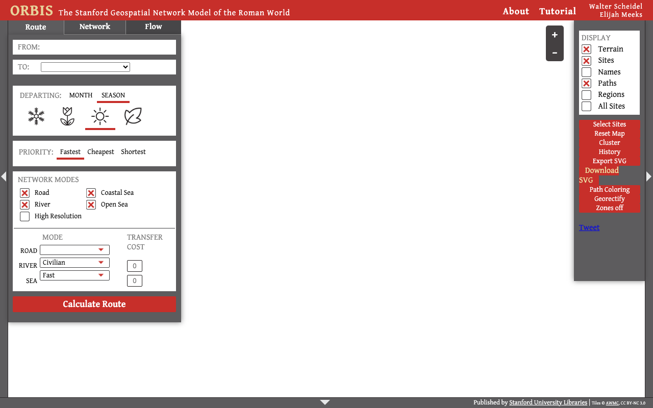
ORBIS is an interactive tool published by Stanford University that models the transportation network of the ancient Roman Empire as a network and computes the cost of travel between two points. Its formal name is The Stanford Geospatial Network Model of the Roman World.
When you specify a departure point, destination, season, and mode of travel, it computes the time, cost, and distance that travel required. Led primarily by the historian Walter Scheidel and the digital humanities specialist Elijah Meeks (Jonathan Weiland is also a coauthor on the v1 paper), the first edition (v1) was published in 2012 and an improved edition (v2) in 2014.
The media often introduces it as "the Roman Empire's version of Google Maps," but this is not the official designation and is a metaphor derived from press coverage. This article looks mainly at how ORBIS works as a model.
The Central Idea: Re-measuring Distance by "Cost"
The philosophy running through ORBIS's model design is, to borrow the words of the v1 paper, that "Cost, rather than distance, is the principal determinant of connectivity."
Rather than geographic kilometers, it measures the "farness" of two points by the time and cost required to travel. For example, even today "Tokyo–Osaka" is 2.5 hours by Shinkansen but over a week on foot, and the perceived farness changes drastically with the mode (this analogy is only an aid to explanation). ORBIS is a model that makes it possible to compute this "farness as cost" under the transportation conditions of ancient Rome.
The Structure of the Model: The Empire as a Network
ORBIS represents the Roman Empire's transportation network as a network made of nodes (locations) and links (routes). The figures are the published values of the first edition (v1, 2012).
| Element | Scale (v1, 2012) |
|---|---|
| Locations (cities, ports, waystations) | 751 places (of which 268 are sea ports) |
| Land routes (roads) | approx. 84,600 km |
| Rivers (navigable rivers and canals) | approx. 28,300 km |
| Sea routes | approx. 900 routes (450 port pairs) |
Note: All of the above are v1 (2012) tallies. In v2 (2014), the tallies of locations and links differ (circulating figures include about 678 nodes and about 1,104 links). Note that the numbers change with the version.
Users can compute a route by specifying the following conditions.
- Optimization criterion: fastest / cheapest / shortest
- Month of departure: January-December (reflecting seasonal effects)
- Mode of travel: donkey, cart, carriage, and so on (land travel has more than ten modes)
As a result, it can output over 360,000 (363,000+) combinations of travel cost. For the same two points, both the route and the number of days differ between "cheapest in winter" and "fastest in summer."
Technical Highlight: Modeling Sea Routes with Seasonal Winds
The biggest reason for featuring ORBIS in this series is its modeling of sea routes. Ancient sailing ships were at the mercy of the wind, and travel time and feasibility changed greatly with the season. ORBIS is pioneering in that it explicitly incorporated these environmental conditions into route computation.
According to the v1 paper, sea routes are modeled by combining the following elements.
- Monthly wind direction and wind speed data for each sea area
- Experimental data on the speeds a square-rigged vessel can achieve under various wind conditions
- The maximum sailing speed of the era, estimated from historical sources
- Seasonal risk (e.g., adding a storm cost to passing through the Strait of Messina in winter)
In other words, ORBIS implemented, as a computable network model, the view that "human travel is behavior chosen under the constraints of the natural environment (wind, sea, season)." What is technically important is that this is not mere map display but a "simulation" that treats environmental conditions as variables.
The Limits as a Model
ORBIS is designed not as a complete reproduction of reality but as an experimental apparatus for trying out results by changing conditions.
- Uncertainty of the input data: measured values of ancient winds and sailing speeds are scarce, and the model depends on estimates
- Averaging: actual travel was affected by weather, politics, and personal circumstances, but the model handles average conditions
- Fixed era: it assumes around 200 CE and does not reflect changes over time
This "humility"—the stance of making the model's premises and limits explicit—is a useful reference when building a simulation-type data infrastructure.
Relationship to Premodern Maritime History Research
ORBIS's framework of "computing sea routes by seasonal winds and currents, and grasping travel as a choice under environmental conditions" is applicable beyond the Roman world.
For example, there is research that seeks to reconstruct the routes taken by sailing ships (tribute ships and trading ships) in the premodern East China Sea as "routes that could have been taken," from the wind and current data of the era. ORBIS is one of the most famous and most-referenced prior examples of this approach of "modeling by connecting environmental conditions with human travel."
Overlaying the "invisible terrain" of season, wind, and current onto a geographic map to compute cost—ORBIS's value lies in having implemented that method as a tool anyone can touch.


Comments
…